New map reveals coastal resilience and vulnerability across EU
The Geological Survey of the Netherlands, part of TNO, launched a new online geological map in collaboration with international partners.
Published on July 4, 2025

Team IO+ selects and features the most important news stories on innovation and technology, carefully curated by our editors.
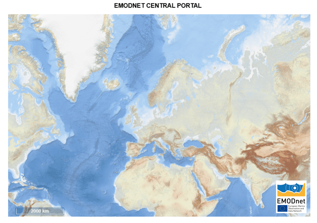
Yesterday, TNO, along with several research partners, launched a groundbreaking online geology map. This map reveals the resilience and vulnerability of Europe's coasts. This map is a first, as it brings together for the first time a huge dataset of coastal resilience and vulnerability studies into a visually accessible resource. By providing insight into geological features and risks such as erosion and sediment delivery, this map can be a valuable tool for climate adaptation.
Global impact of sea level rise
The coastal areas of Europe are under pressure from global sea level rise. Approximately 40% of the world's population resides within 100 km of the coast, meaning that trillions of people are at risk of being affected by flooding and erosion. This new tool is essential at a time when sea level rise is accelerating due to climate change. The map helps regional authorities anticipate risks and adapt protection measures to the specific needs of the local landscape.
A composite of data and technology
The groundbreaking map is the result of a collaboration between several European institutions. With the use of advanced technologies such as GIS (Geographic Information System), researchers were able to visualize data at different zoom levels. This allows for a detailed view of specific regions and broader European trends. Such technologies make complex data sets more accessible to policymakers and researchers, enabling them to respond appropriately to coastal management challenges.
Knowledge as a basis for action
By providing insight into erosion risk and sediment delivery data, it will enable coastal communities to make informed decisions about the maintenance and restoration of vulnerable areas. The insights from the map can help determine where buffer zones should be established or where infrastructure investments are needed to prevent further damage. Additionally, this information can be utilized in educational programs to increase residents' awareness of their habitat and their role within it.
Prospects for coastal management
While the map is already a critical tool in current coastal management, it continues to evolve with updates and discoveries. Scalable technology enables the map to adapt to new data, ensuring it always provides an up-to-date picture of the state of Europe's coasts. This continuous adaptation is crucial, as climate patterns continue to evolve and new threats emerge on the horizon.
The role of European cooperation
Without cooperation at the European level, such a comprehensive project would not have been possible. From the initial data collection by Edge Hill University in England to the processing by TNO in the Netherlands and the final launch by the European Marine Observation and Data Network (EMODnet), this project demonstrates how international cooperation can yield impressive results. By combining expertise and resources, European countries can address their shared challenges more effectively.
Practical applications of the map
Not only do scientists and governments benefit from the new map, but individuals and businesses can also help. For real estate developers, the map can be an essential tool in assessing risk factors before investing in coastal projects. Tour operators use the map to work out routes that minimize natural risks. Industrial companies that depend on port infrastructure can anticipate potential disruptions caused by changes in coastal features.