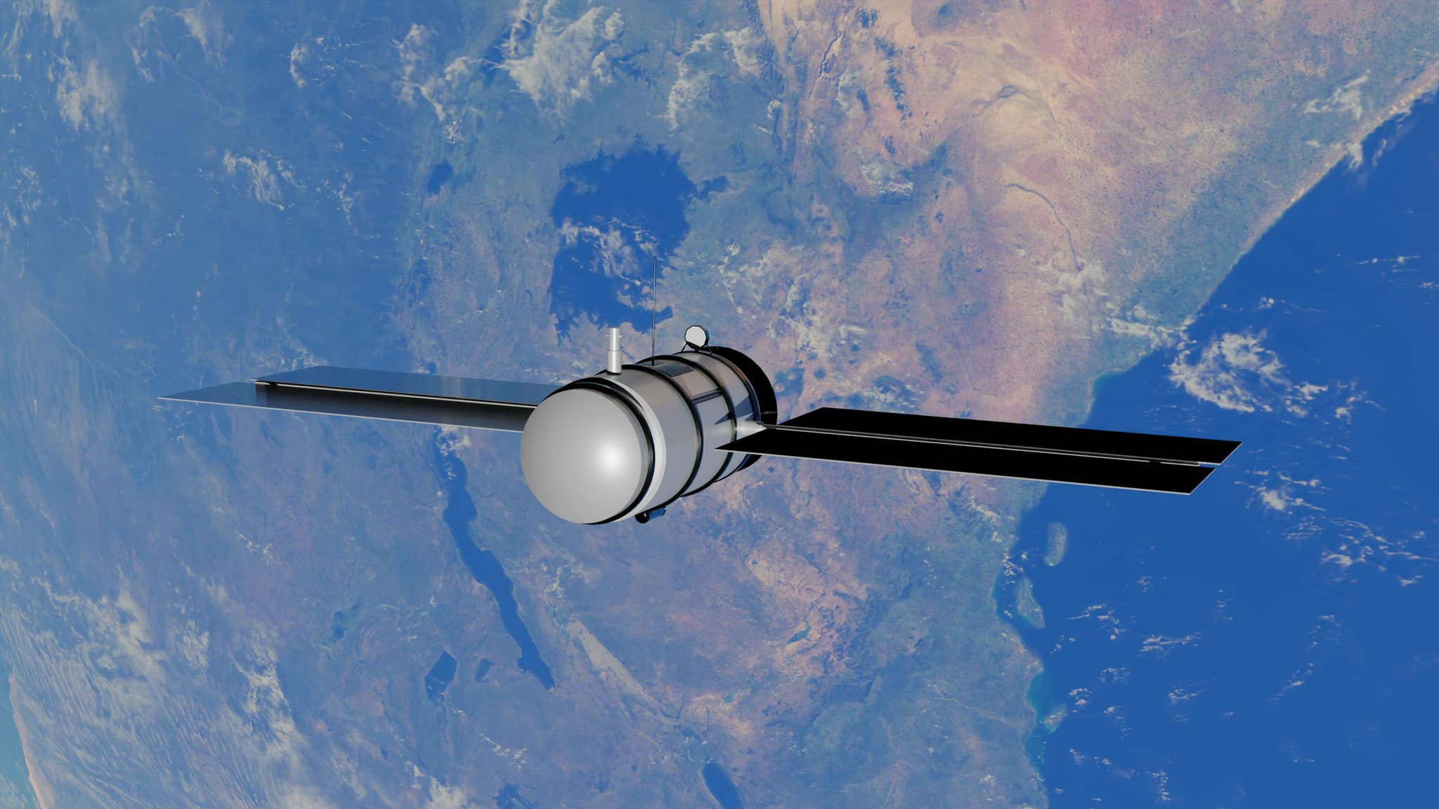
How AI satellites are transforming maritime security
AI enabled satellites can help protect the seas, through their capability to spot threats and acquire information.
Published on January 28, 2026
© Pexels

Mauro swapped Sardinia for Eindhoven and has been an IO+ editor for 3 years. As a GREEN+ expert, he covers the energy transition with data-driven stories.
Underwater internet cables, pipelines, and offshore windfarms are making our seas busier. In times of geopolitical instability, maritime security is as crucial as ever, given the critical role of offshore infrastructure in today's society. Satellite observation is key to maintaining high security levels and can be improved with AI.
Ubotica brings AI into satellites. The Irish company, with an office in Delft, does so by developing both hardware and software to enhance satellites’ capabilities. In this way, satellites provide better insight into suspicious vessels, for instance, reporting information to the relevant authorities. The company’s technology, also tested in several missions with the European Space Agency (ESA), has proven spot-on for ensuring maritime security.
How AI satellites enhance Earth observation
For decades, Earth-observation satellites have largely acted as passive sensors. They captured vast amounts of imagery and transmitted it to Earth, where analysts and algorithms processed the data hours or even days later. That model works well for static mapping, but it struggles with dynamic security challenges at sea.
“The Earth is huge, and satellites can only observe small areas at a time,” explains David Rijlaarsdam, Ubotica’s Director of Space System Engineering. “If you’re not smart about where and when you collect data, you simply miss what matters.”
AI-enabled satellites fundamentally alter this model. By embedding machine-learning capabilities directly on board, satellites can interpret what they see in near-real time. Instead of blindly collecting images, they can decide whether a scene is relevant, discard useless data such as cloud-covered imagery, and prioritize observations that indicate potential risk.
“Think, for instance, if you need to take a satellite picture on a cloudy day, you would want to have a system that can detect whether the Earth's surface is covered. On top of that, it would be great if you had a system that could task a radar satellite to take a picture when it’s cloudy—radar satellites can see through clouds. In short, that’s what our technology is capable of.”

David Rijlaarsdam
Ubotica’s Director of Space System Engineering
He led Ubotica’s Cognisat-6 mission, the first satellite mission worldwide to deliver real-time Earth Observation insights directly from orbit.
Surveilling the North Sea
Ubotica has partnered with the geodata solutions company Fugro and software and data firm DTACT. Through the partnership, AI-enabled satellites provide continuous, intelligent oversight by autonomously detecting vessels, analysing movement patterns, and identifying behaviour that may pose a risk to critical infrastructure. Instead of relying on static monitoring plans, the system dynamically adapts its observations to evolving risk signals, from a range of sensors, ensuring satellite resources are focused where they are most needed.
What distinguishes the solution is the integration of space-based intelligence with Fugro’s offshore surveying and seabed monitoring capabilities. When the AI-driven satellite system identifies a potential threat or anomaly, it can trigger follow-up observations across different sensor types, including radar satellites that can operate in poor weather and low-light conditions. This information can then be fused with Fugro’s detailed knowledge of subsea assets and, where necessary, support targeted inspections using uncrewed or crewed maritime platforms.
A sensor web
In addition to the autonomy in orbit, ground-based AI systems coordinate satellite movement, forming what Rijlaarsdam calls a “virtual-constellation.” In a way, it creates a coordinated sensor web: a network of sensing units that continuously share information and adapt their behavior.
In practice, this means that when an anomaly is detected—such as a vessel loitering near critical underwater infrastructure—algorithms can determine which sensor is best placed to investigate. An AI-enabled satellite may be tasked first, followed by radar coverage, and, if necessary, a drone or uncrewed surface vessel.
AI into orbit
While edge AI now has multiple uses on Earth—think of self-driving cars, autonomous drones, and smart cameras—developing such technology for space applications is a whole different story.
“Low power, vacuum, and radiation may affect hardware functionality. Additionally, once it is sent to orbit, the device can’t be easily reached to be fixed,” clarifies Rijlaarsdam.
How does Ubotica make chips space-proof, then? It happens on two levels. On the software side, algorithms can detect calculation errors driven by radiation hitting the processor. On the hardware side, making them ready to withstand the space harsh conditions, for instance, with extra aluminum coating. Before the processors are launched into orbit, they are thoroughly tested in facilities such as CERN’s particle accelerator in Geneva.
Bolstering European security
Ubotica has already deployed its chips on 10 satellite missions, working with both ESA and NASA. The following key step for the company and European security is to deploy the technology at scale effectively, underlines Rijlaarsdam.
“The technology works,” he says. “Now the challenge is deploying it at scale and using it to deliver real societal value.”
Doing so will require investment not only in AI-enabled satellites, but also in integration: connecting national systems, commercial operators, and different sensor types into coherent, cooperative architectures. In a domain as vast and interconnected as maritime security, isolated capabilities are no longer sufficient.
As new threats emerge by the day, AI-enabled satellites could become a cornerstone of European maritime resilience, providing earlier warnings, clearer insights, and more effective protection for the infrastructure on which modern societies depend.